
Trail: June 27, 2026, the Balcons de Cauterets Trail
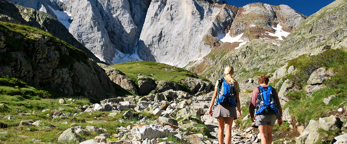
 Le Trail des Balcons de Cauterets est un classique en Hautes Pyrénées, réunissant chaque année plus de 2000 trailers sur quatre distances de 11 à 80 km.
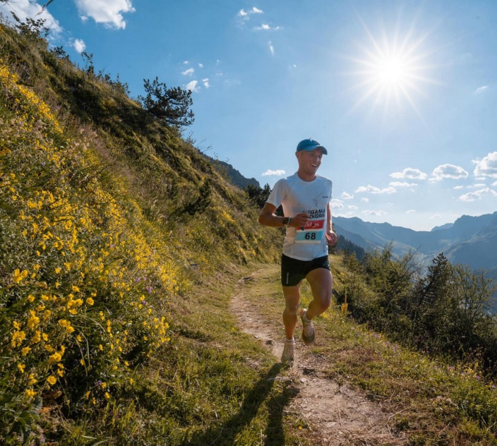
Physiquement exigeant avec ses successions de montées raides et de descentes techniques, ses parcours sont à la hauteur du Parc National.
Passages en balcon, cascades, traversées de forêts et d'estives, de quoi combler les yeux autant que les jambes !
 Les quatre épreuves proposées - 11 km (500m D+, 20 km (1200mD +), 47 km (3000m D+) et 80 km (5000m D+) - sont au départ et à l'arrivée au centre de Cauterets, avec des boucles sur les deux versants de la vallée.Environ à mi-parcours, tous les tracés reviennent près du centre, permettant de suivre facilement la course et d'encourager les participants !
Le Trail des Balcons est organisé par le Club Athlétique du Vignemale en collaboration avec le village de Cauterets – tout comme les deux autres événements annuels que sont le Trail Blanc du Pont d’Espagne en janvier et le Trail du Cabaliros en septembre.
11 km / 500 m+ | Start 9am
 Le dénivelé positif commence 2km après le départ, où l'on quitte l'Avenue du Mamelon Vert pour une longue montée vers Cambasque en passant par la ferme Igau. Après avoir franchi le gave de Cambasque (km5), s’ensuit une descente technique sur 1km qui revient vers le centre. On entame alors une deuxième boucle vers la Raillère.
C’est d’abord une montée en pente douce le long du gave de Cauterets, jusqu’à un dernier raidillon avant la magnifique cascade de Lutour (km9). Le retour se fait en descente sur l’autre rive, en passant derrière les anciens thermes de Pauze, jusqu’à l'arrivée au centre village.
20 km / 1200 m+ | Start at 8am
 Le parcours est identique au 11km jusqu’à la ferme Igau, à partir de laquelle l’ascension se poursuit sur 4km vers le col de Bourg Dessus (1960 m) et rejoint ensuite le Bike Park (km7.2).
En tout, cette longue montée fait 6 km et 1000 m+. Le chemin descend alors en lacets sur 4.5km, jusqu’au pont du gave de Cambasque.
Le parcours est alors le même que le 11 km, avec une descente vers Cauterets puis boucle vers la cascade de Lutour.
47 km / 3000 m+ | Departure 6am
La première partie du circuit est commune au 20 km, environ jusqu’aux anciens Thermes de Pauze. Mais là, on enchaîne avec une autre longue ascension : le Col de Lisey à plus de 2000 m, puis le Col de Riou. On passe sur le flanc du Viscos avant de revenir vers le col de Riou, puis les chemins de la Reine Hortense. Il y a encore deux bonnes bosses avant l’arrivée.
80 km / 5000 m+ | Départ 4h
 Le début du parcours est aussi celui du 20 km, avec la grosse montée vers le col de Bourg Dessus suivie de la descente jusqu’à la route du Cambasque. Mais ensuite, alors que les autres parcours continuent la descente vers Cauterets, le parcours du 80 km repart pour une nouvelle grosse montée en lacets vers la station du Lys et ses Crêtes, avant de basculer et redescendre sur le Lac d’Ilhéou.
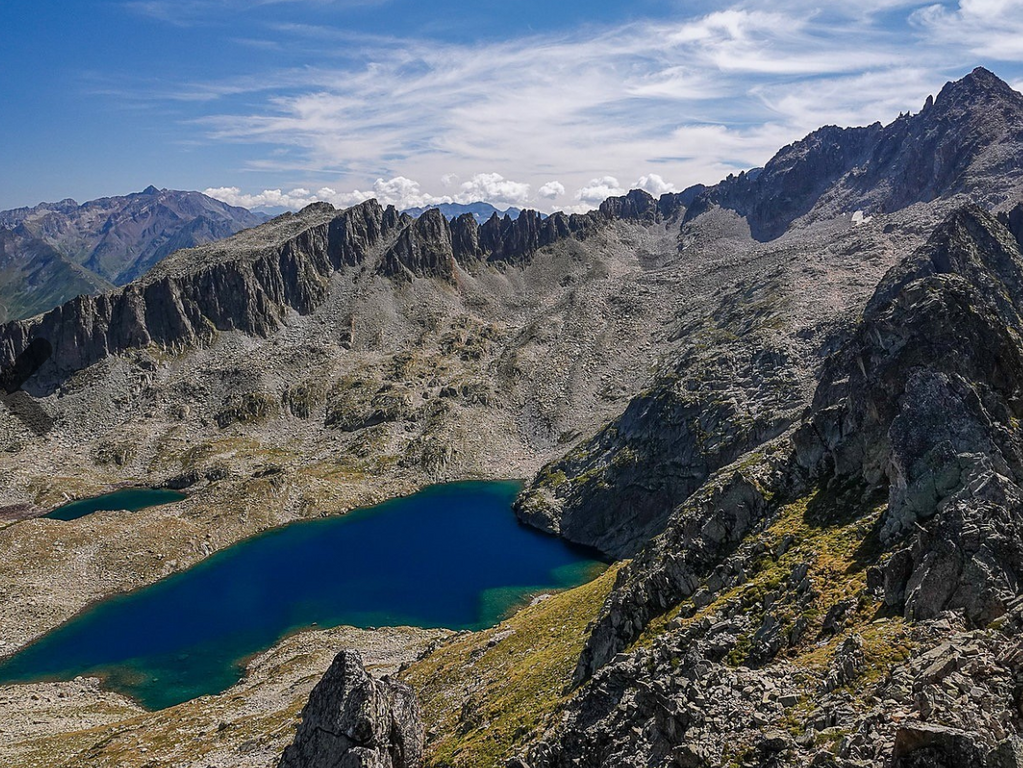
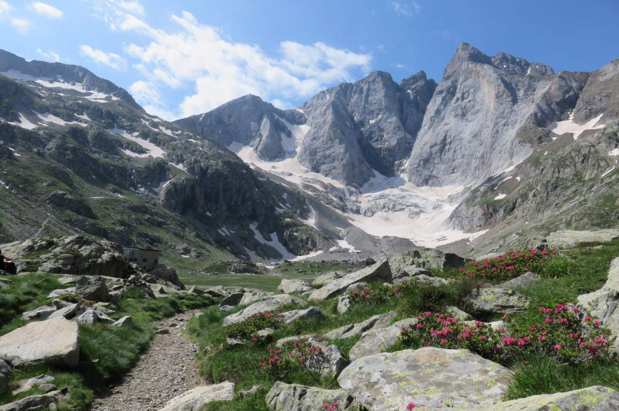
Ensuite, cela remonte à nouveau vers le col de la Haugade, puis direction le lac de l’Embarrat, ensuite celui du Pourtet, le Lac Nère, avant de redescendre vers le refuge du Wallon. Le parcours devient un peu plus roulant vers la magnifique Vallée du Marcadau, presque jusqu’au Pont d’Espagne. On part alors chercher le Lac de Gaube, puis passage au Pont d’Espagne, avant un retour vers Cauterets vers le chemin des Cascades.
Au retour à la Raillère et la Cascade de Lutour, on est au km 48. Les 32 km restants sont communs au 47 km, c’est-à-dire un retour près du centre avant de grimper vers le col du Lisey, etc.
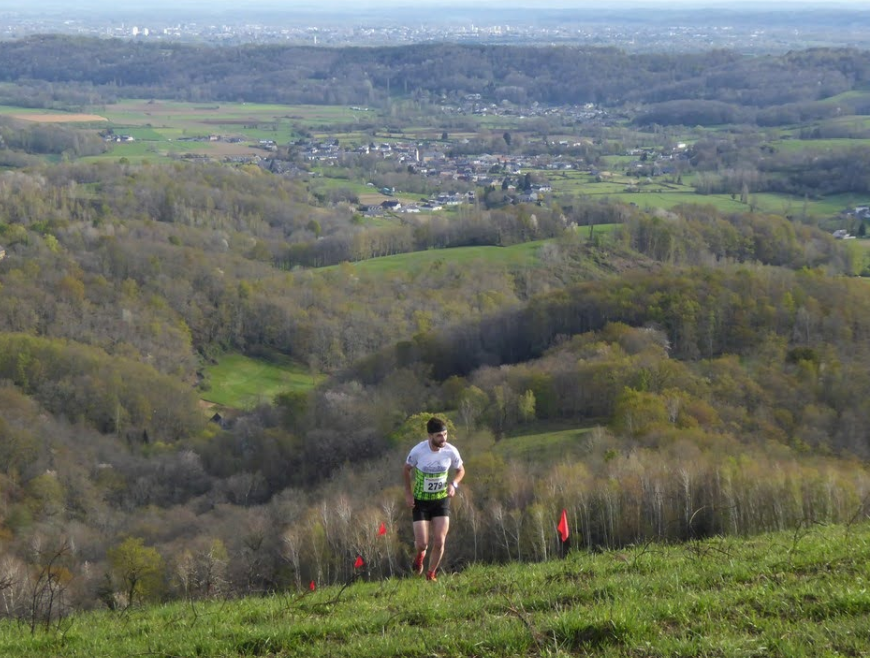
Amis trailers, venez participer à ce trail, l'une des plus belles courses en Hautes Pyrénées !
Le Chalet La Source contribuera à faire de votre séjour une expérience inoubliable !
![]()
- Views: 2537

 Avec sa forme acérée comme taillée au couteau, orné d'une croix en fer forgé, le pic de Viscos fait figure de vigie à l’entrée dans la vallée des gaves.
 The hike starts at the Caesar's baths, behind which you take the GR 10 (red marking), which climbs in switchbacks to the Pauze Vieux baths.
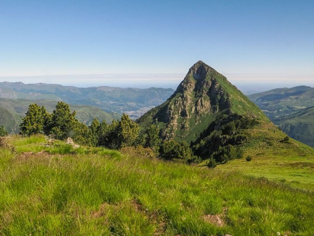 A little higher up, the trees thin out to reveal a large plateau at the foot of grassy slopes, and the switchbacks take you to the Riou pass (1946 m - 8 km - 2h45 including stops).

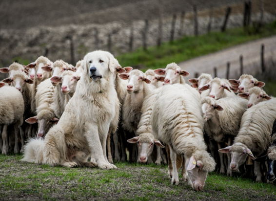 From late spring until autumn, flocks of sheep go up to their summer pastures.
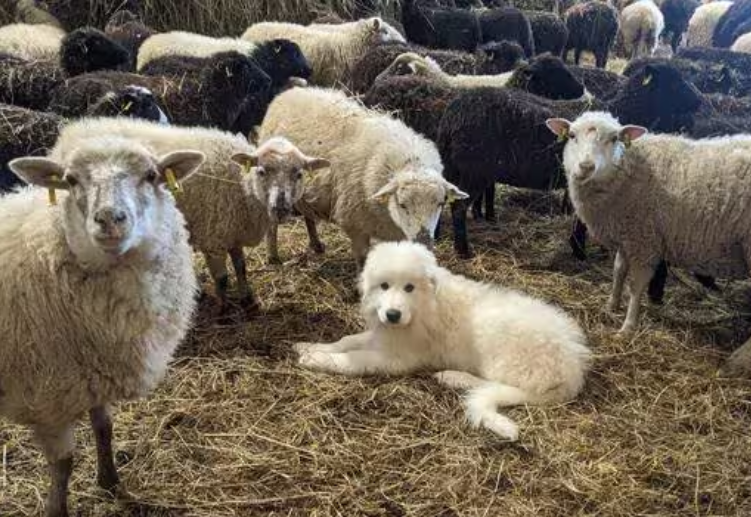 Le chien de protection est une arme de dissuasion vis-à-vis des prédateurs et des intrus : d’abord passive par sa présence imposante et son aboiement, puis active si cela ne suffit pas, par l’interposition voire l’intervention physique.
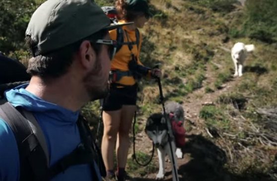
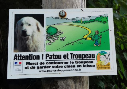 Renseignez-vous dans les offices de tourisme pour savoir quels sont les meilleurs itinéraires. En chemin, une signalétique pourra éventuellement vous indiquer les zones où pourraient se trouver des Patous.
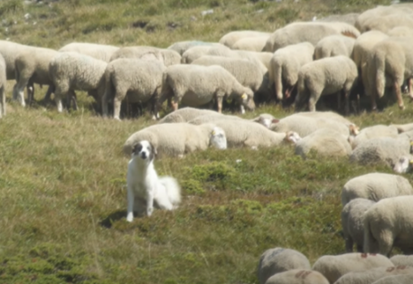
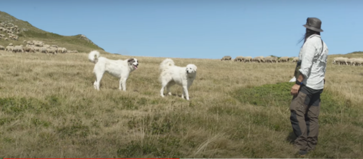 Arrêtez-vous (idem si vous êtes en vélo) : surtout ne forcez pas le passage – devenant vous-même agresseur, vous allez vous faire mordre – et ne fuyez pas non plus en courant ou sur votre vélo – devenu proie, vous pourriez vous faire mordre également !
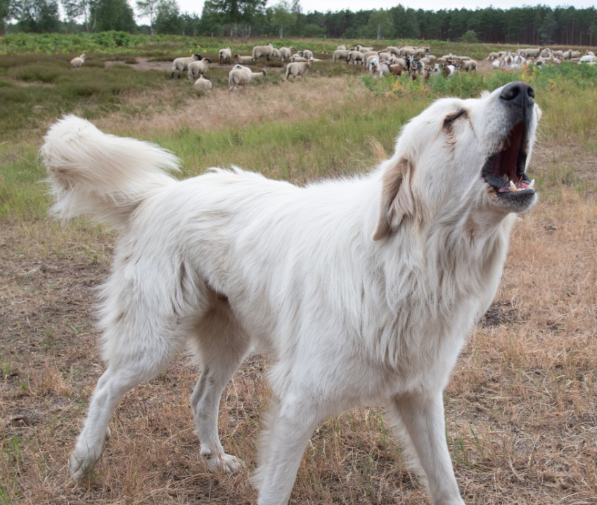
 4th situation: the Patou calms down and comes to sniff you: you will be able to continue, under good escort.
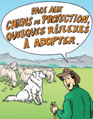 To raise awareness among hikers, the Departmental Directorate of Agriculture and Forestry has created a very educational comic strip, available at this link:
 Trail du Marquisat, les crêtes du Miramont (Louey) – 13 juin
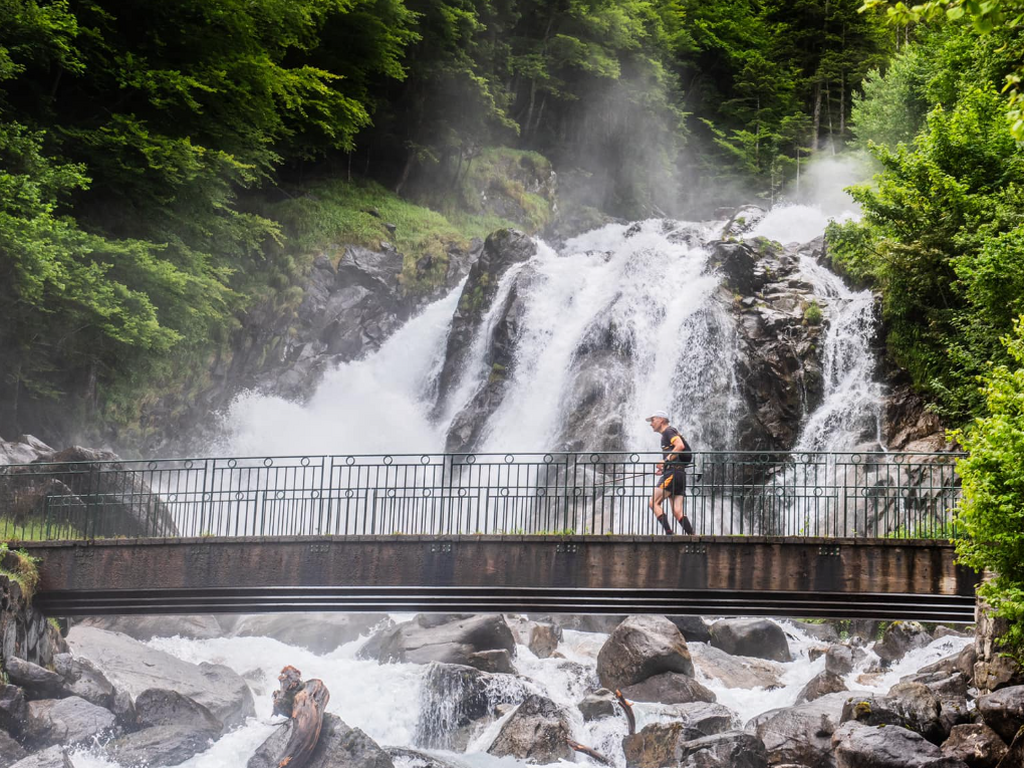
 (Barèges) – 11 juillet
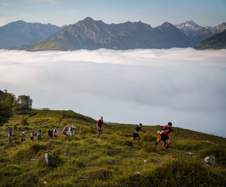 Gabizos Trails
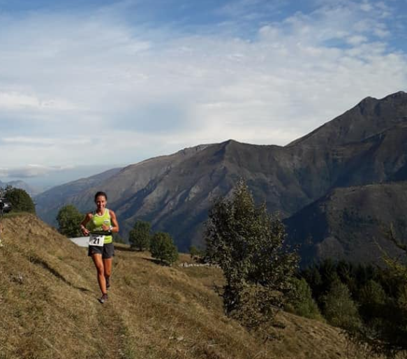 Trail
Trail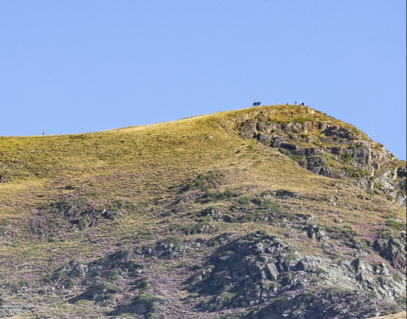 Trail du Cabaliros (Cauterets) – 6 septembre
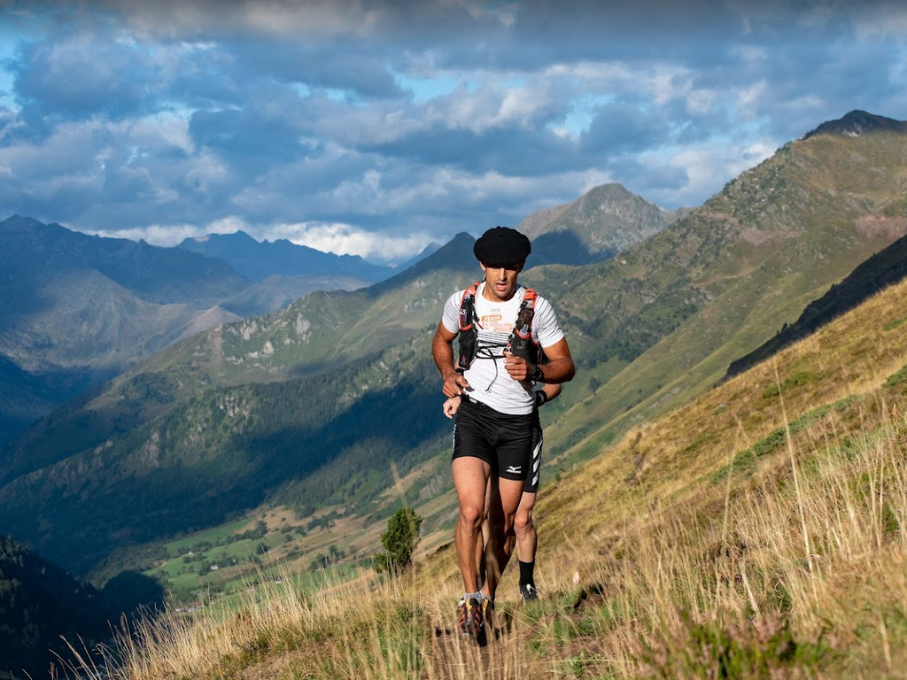 Trail Barèges Pic du Midi Barèges (Barèges) – 19 Septembre
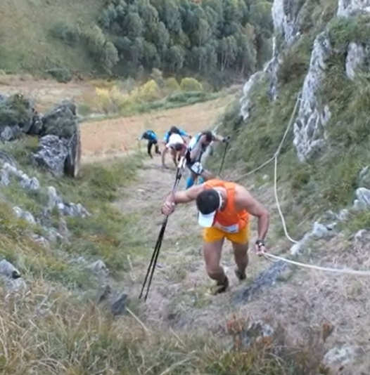 Kilomètre Vertical du Hautacam – Septembre
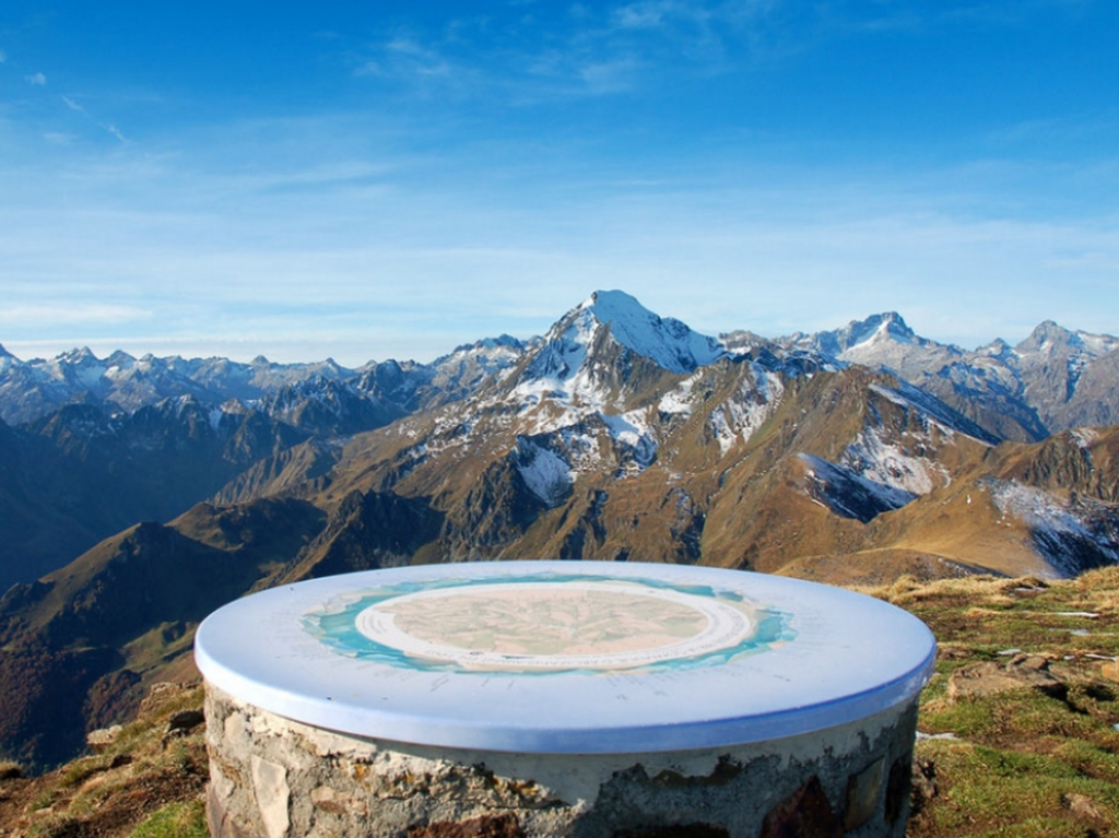 (2332 m)
 Pic de Viscos (2141 m)
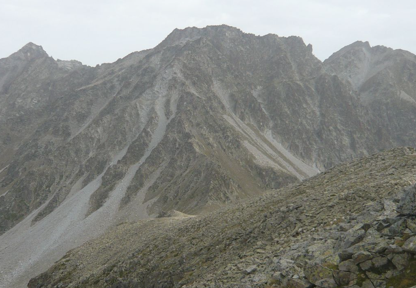
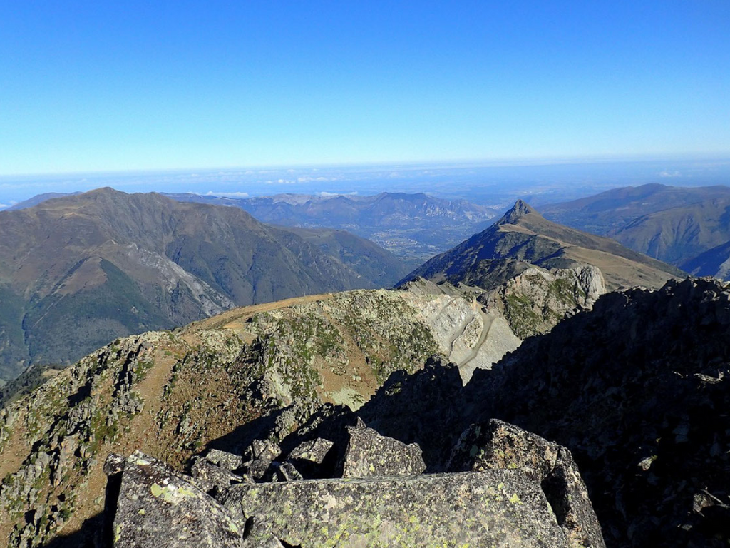 The ridges of the Ardiden Massif (2058 to 2577 m)
 Soum des Agudes (2732m), Soum de Bat Houradade (2722m)
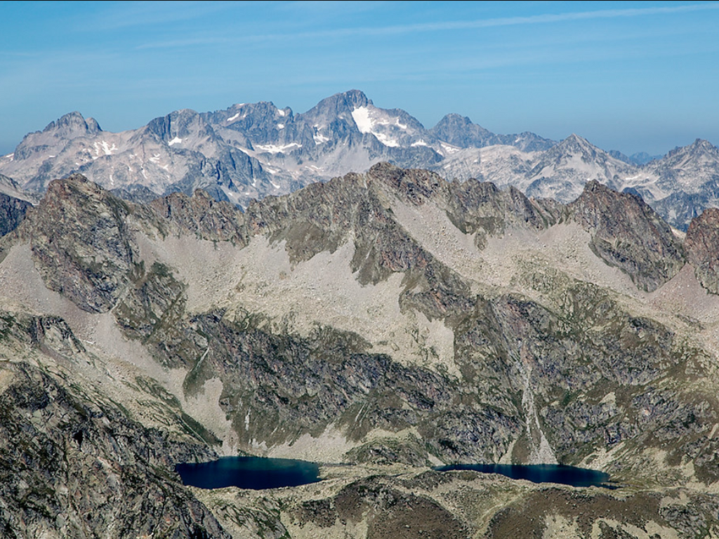 Culaus Peak (2806 m), Cestrède Peak (2947 m)
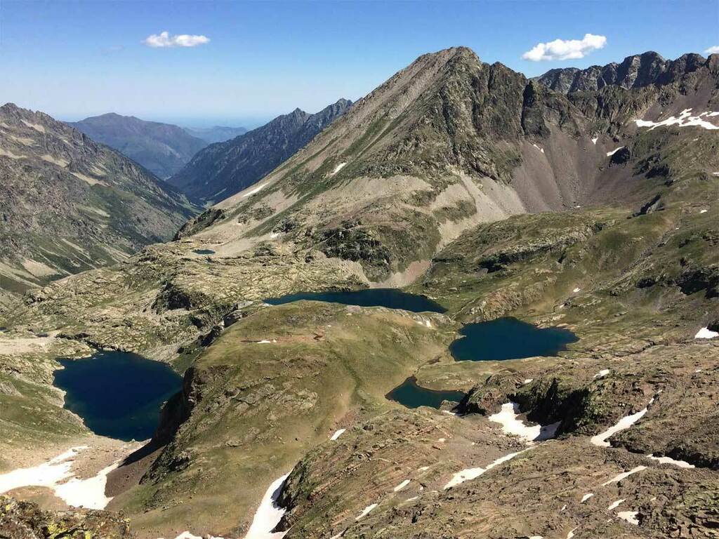 Pic de Pébignau (2895 m)
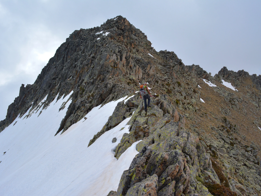
 Chanchou Peak (2949 m)
 Pic du Petit Vignemale (3032 m) and Pique Longue (3298 m)